
 Photo: Wikimedia contributors · See source
Valais Vineyards & Castles
Follow Visp, Visperterminen, Leuk, Sierre, Sion, Saillon and Martigny on a four-day Rhône Valley circuit from Täsch.
- Allow
- 4 days
- Route
- 232 km
- Drive time
- 3 hr 20 min
- Stops
- 8
The Rhône Valley changes language and landscape as it runs west. Visperterminen begins with improbably high vineyards, Leuk and Pfyn-Finges mark the transition into central Valais, Sierre opens the main wine country and Sion raises Valère and Tourbillon above the old town.
Saillon and Martigny finish among fortified villages, Roman traces and orchards. This is not a tasting crawl: choose a sober driver or park for the night before any cellar visit. The valley motorway is efficient, but the real roadbook lives in measured town stops and signed vineyard approaches.
The road, in one glance
Pinch or scroll with Ctrl / ⌘ to zoom
Drawing the route…
The route earns
its distance
Each pin is selected as a place to do something—not merely proof that you passed through.
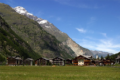 Photo: Wikimedia contributors · See source
Täsch
The public road ends here for Zermatt visitors; the village is the legal road-trip gateway.
Täsch is a municipality in the district of Visp in the canton of Valais in Switzerland. It is located about 5 km (3.1 mi) north of Zermatt. The local language is Swiss German.
 Photo: Wikimedia contributors · See source
Visp
A transport crossroads and compact old town open the main Rhône Valley.
Visp is the transport and service hub of the upper Rhône valley and the capital of its Valais district. Its compact old town stands below dry, vineyard-covered slopes, while rail and road connections branch toward Zermatt, Saas and the high passes.
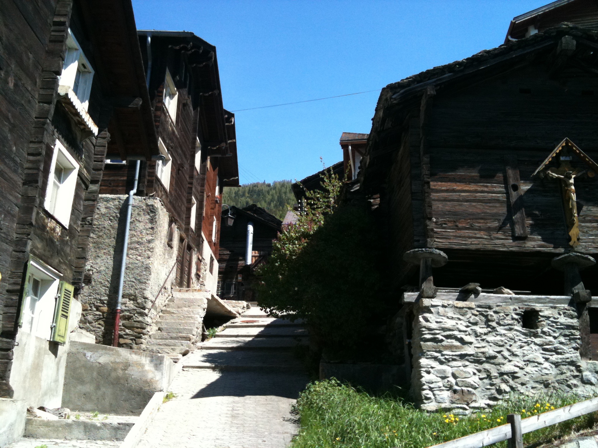 Photo: Wikimedia contributors · See source
Visperterminen
Terraced vines climb steeply above the valley toward a traditional mountain village.
Visperterminen is a high Valais village above Visp, surrounded by steep terraced vineyards and mountain pasture. The Heida grape is cultivated on some of Europe's highest vineyard plots here, tying the walking landscape directly to local wine production.
 Photo: Wikimedia contributors · See source
Leuk
A castle town overlooks the meeting point of vineyards, dry slopes and Pfyn forest.
Leuk is a municipality in the district of Leuk in the canton of Valais in Switzerland. On 1 January 2013, the former municipality of Erschmatt merged into the municipality of Leuk. Since it controls access to the Gemmi Pass, it had some importance from the time of Roman Raetia.
 Photo: Wikimedia contributors · See source
Sierre
Museums, vineyards and nearby Salgesch place the road in central Valais wine country.
Sierre is the capital municipality of the district of Sierre, located in the Rhône valley in the canton of Valais, Switzerland. It has a population of 18,020. Sierre is nicknamed City of the Sun (French: Cité du Soleil) for its average of 300 days of sunshine a year.
Photo: Wikimedia contributors · See sourceSion
Valère and Tourbillon rise on twin hills above the lively cantonal capital.
Sion is a Swiss town situated in the Rhône valley, a municipality, and the capital of the canton of Valais and of the district of Sion. As of December 2020 it had a population of 34,978 (known as Sédunois(es)). On 17 January 1968, the former municipality of Bramois merged into the municipality of Sion.
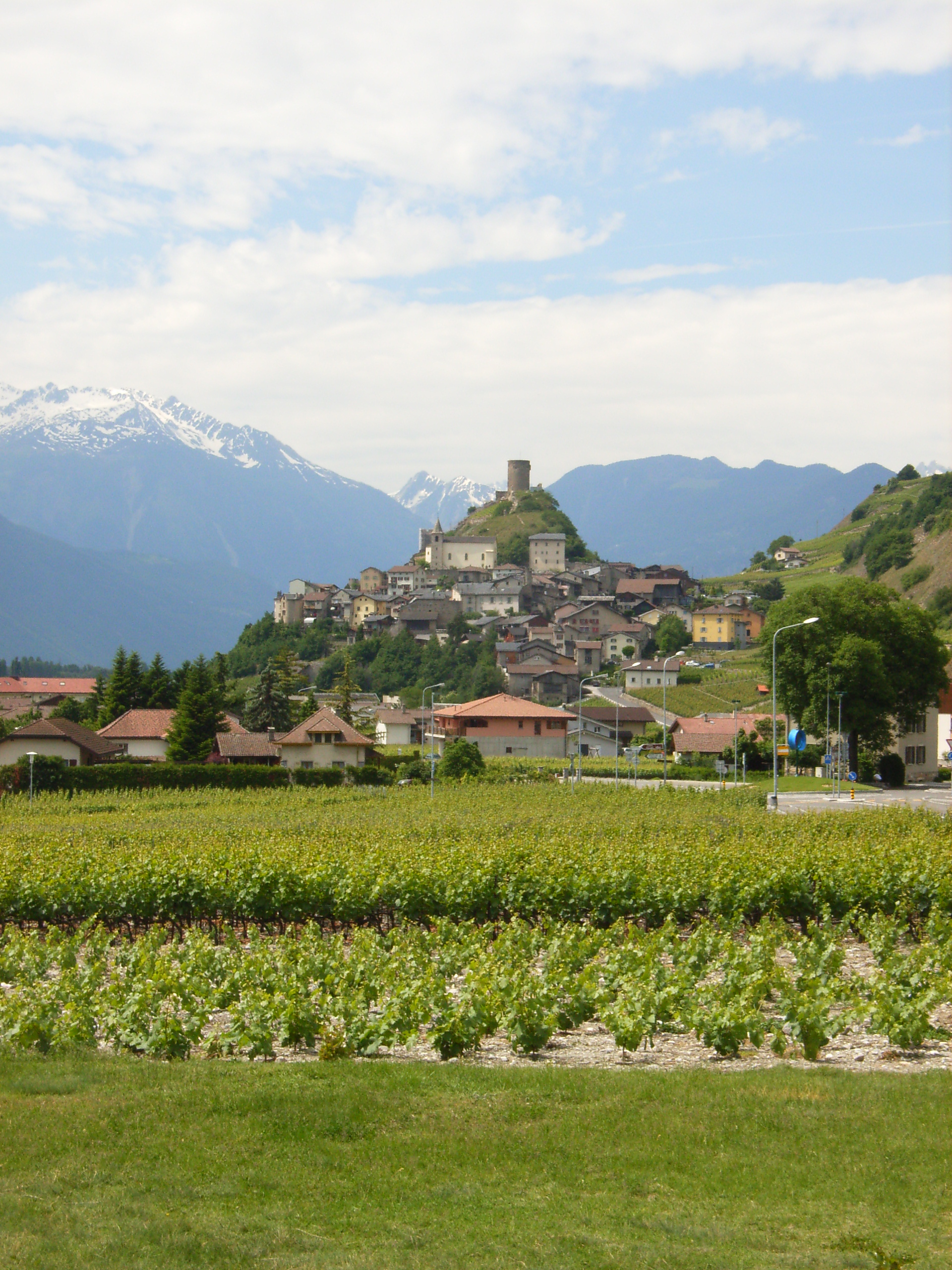 Photo: Wikimedia contributors · See source
Saillon
A tight medieval village crowns a low hill among vines and thermal springs.
Saillon is a compact medieval village on a rocky hill above the Rhône plain in Valais. A preserved gate, stone lanes and the Bayart tower rise over vineyards, orchards and thermal-spring country.
 Photo: Wikimedia contributors · See source
Martigny
Roman remains and the Rhône bend close the westward arc before the return east.
Martigny is the capital city of the district of Martigny, canton of Valais, Switzerland. It lies at an elevation of 471 meters (1,545 ft), and its population is approximately 20,000 inhabitants (Martignerains or "Octoduriens"). It is a junction of roads joining Italy, France and Switzerland.
Drive the conditions,
not the itinerary.
Appoint a sober driver, use town garages and keep to signed public vineyard roads. Do not attempt the restricted Täsch–Zermatt road at either end.
Checked against
the people who run it
Distances and driving times are planning estimates. Conditions, closures, ferries, permits and park rules can change, so check the linked official guidance before setting out.