
 Photo: Wikimedia contributors · See source
Great St Bernard & Verbier
Travel through Sion, Martigny, Champex-Lac, Great St Bernard and Verbier on a four-day seasonal circuit.
- Allow
- 4 days
- Route
- 327 km
- Drive time
- 4 hr 41 min
- Stops
- 7
From Martigny the road climbs through the Val d’Entremont, pausing at forested Champex-Lac before the historic Great St Bernard pass reaches the Italian frontier. The itinerary turns back on the Swiss side and uses Verbier as a high balcony above the valley on the return.
This is strictly a summer-pass roadbook. The tunnel is not a scenic substitute within the mapped journey, and opening dates shift with snow and work. Check the TCS portal immediately before departure, carry no expectation of access and postpone in fog, storms or driver fatigue.
The road, in one glance
Pinch or scroll with Ctrl / ⌘ to zoom
Drawing the route…
The route earns
its distance
Each pin is selected as a place to do something—not merely proof that you passed through.
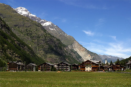 Photo: Wikimedia contributors · See source
Täsch
Depart only with an all-open pass report and flexible reservations.
Täsch is a municipality in the district of Visp in the canton of Valais in Switzerland. It is located about 5 km (3.1 mi) north of Zermatt. The local language is Swiss German.
 Photo: Wikimedia contributors · See source
Sion
The capital makes a measured first overnight before the western mountain road.
Sion is a Swiss town situated in the Rhône valley, a municipality, and the capital of the canton of Valais and of the district of Sion. As of December 2020 it had a population of 34,978 (known as Sédunois(es)). On 17 January 1968, the former municipality of Bramois merged into the municipality of Sion.
 Photo: Wikimedia contributors · See source
Martigny
At the Rhône bend, roads divide toward France, Italy and the high Valais valleys.
Martigny is the capital city of the district of Martigny, canton of Valais, Switzerland. It lies at an elevation of 471 meters (1,545 ft), and its population is approximately 20,000 inhabitants (Martignerains or "Octoduriens"). It is a junction of roads joining Italy, France and Switzerland.
 Photo: Wikimedia contributors · See source
Champex-Lac
A small forested lake gives the climb a quiet overnight alternative.
Champex is a village located in the French-speaking Swiss canton of Valais, part of the municipality of Orsières. The village lies at 1,470 metres on the shore of Lac de Champex, at the foot of the Mont Blanc Massif. It is a starting point for many hikes into the surrounding mountains and huts (La Breya, Cabane du Trient, Le Catogne).
Photo: Wikimedia contributors · See sourceGreat St Bernard Pass
A lake, hospice and ancient crossing occupy the high Swiss–Italian frontier.
The Great St Bernard Pass (French: Col du Grand St-Bernard, Italian: Colle del Gran San Bernardo, German: Grosser Sankt Bernhard; Romansh: Pass del Grond Son Bernard) is the third highest road pass in Switzerland, at an elevation of 2,469 m (8,100 ft). It connects Martigny in the canton of Valais in Switzerland with Aosta in the region Aosta Valley in Italy.
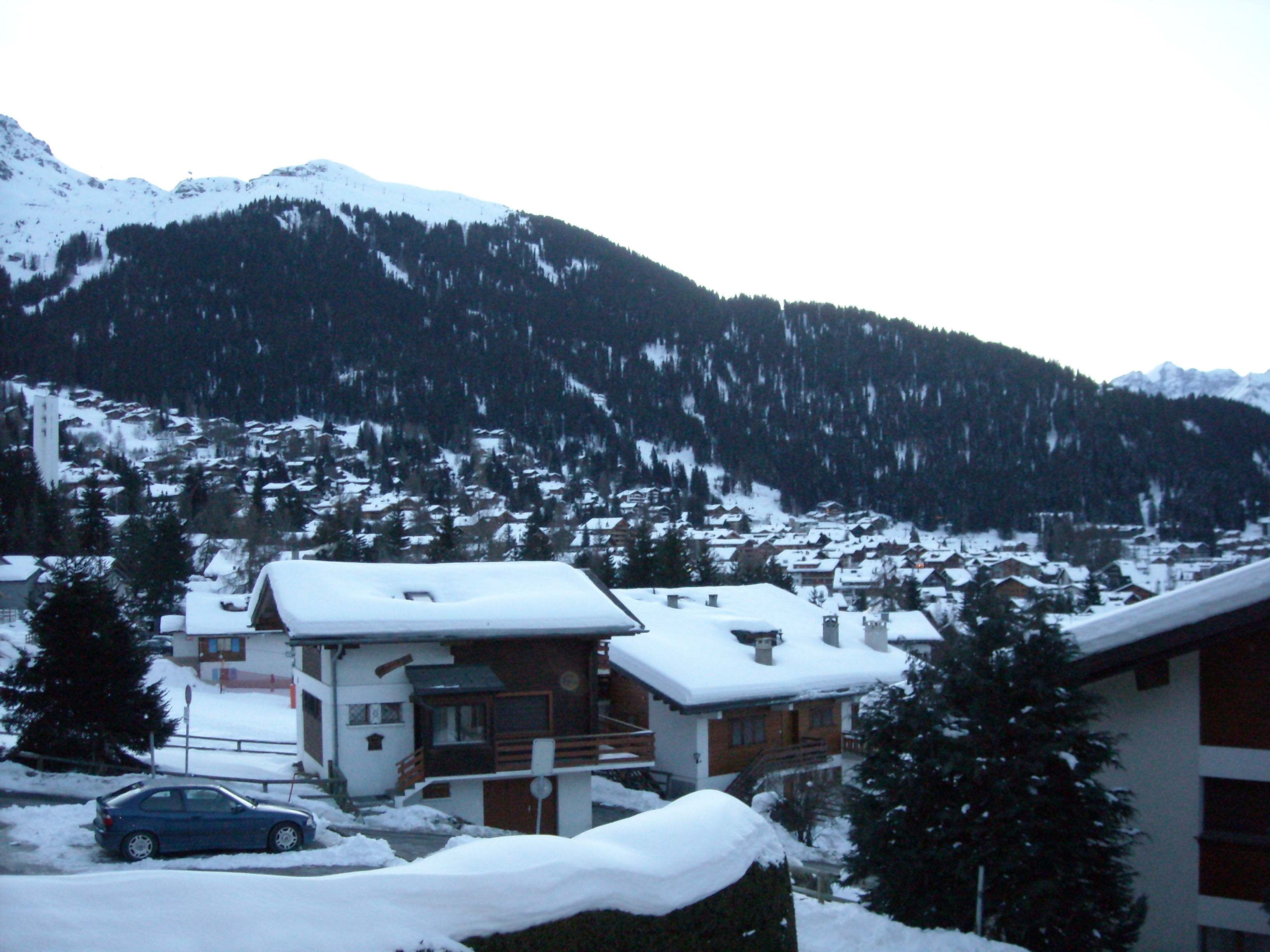 Photo: Wikimedia contributors · See source
Verbier
A high resort balcony opens broad views over the Val de Bagnes.
Verbier is a village located in south-western Switzerland in the canton of Valais. It is a holiday resort and ski area in the Swiss Alps and is recognised as one of the premier off-piste resorts in the world. Some areas are covered with snow all year.
 Photo: Wikimedia contributors · See source
Sierre
The sunny wine town breaks the long valley return before Täsch.
Sierre is the capital municipality of the district of Sierre, located in the Rhône valley in the canton of Valais, Switzerland. It has a population of 18,020. Sierre is nicknamed City of the Sun (French: Cité du Soleil) for its average of 300 days of sunshine a year.
Drive the conditions,
not the itinerary.
Proceed only when the pass is officially open, use low gears downhill and turn back at closures. The route does not enter Italy and never substitutes an unauthorized road.
Checked against
the people who run it
Distances and driving times are planning estimates. Conditions, closures, ferries, permits and park rules can change, so check the linked official guidance before setting out.